
Thornton and Cleveleys are two separate places. Cleveleys is the town next to the sea, whilst Thornton is slightly inland. The name ‘Thornton Cleveleys’ comes from the railway station of the Preston and Wyre Railway. The station was ‘Thornton for Cleveleys’. Over the years, the ‘for’ has been dropped, leaving us with the name we are familiar with now.
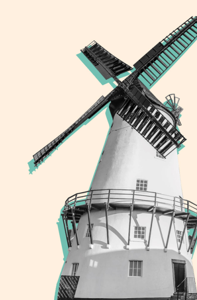
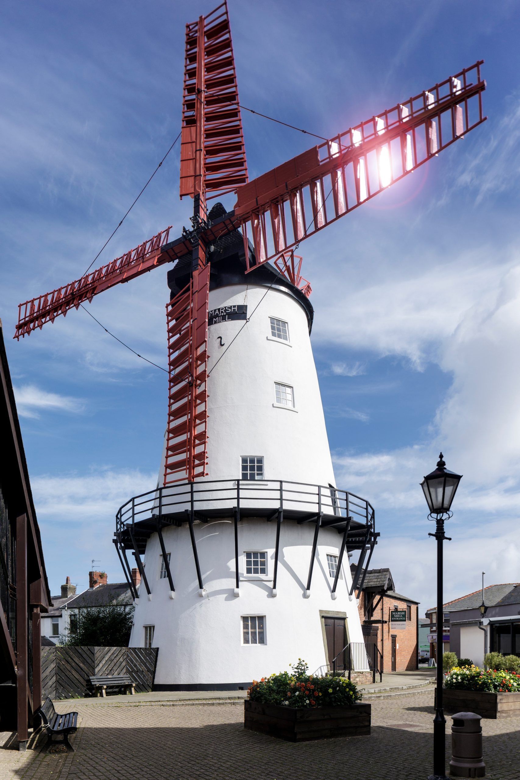
Photo credit: Andy Marshall
Thornton dates back more than a thousand years. Once known as ‘Torentum’ it can be found in the Domesday Book.
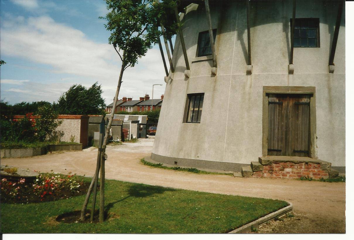
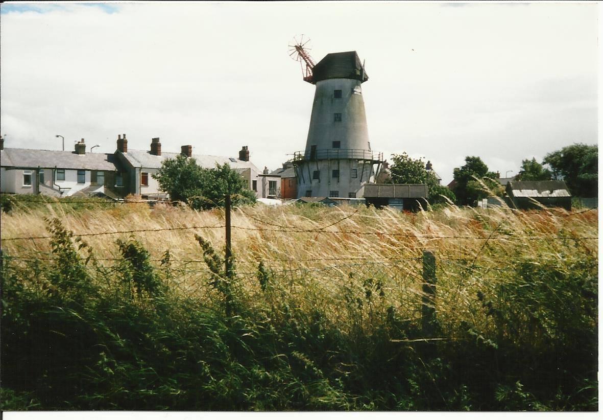
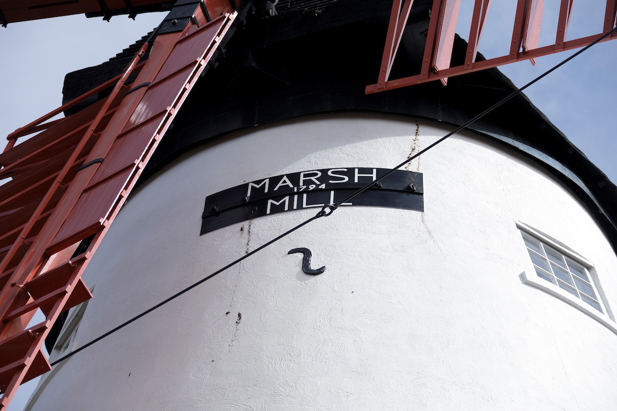
In 1794 Marsh Mill Windmill (now designated as a Grade II* building) was built by Ralph Slater at nearby Thornton, one of the largest mills in Europe. It was a working mill until 1922, producing wheat flour for bread, crushed barley for animal feed, rye flour and oatmeal.
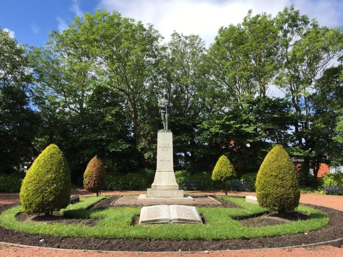
Thornton means “thorn-tree enclosure” and Cleveleys means “woodland clearing near a cliff or bank”. You can still see the remains of a petrified forest on the beach today. Thousands of years ago, trees lined the river that once ran along the route of Victoria Road. Borehole logs of ground samples show that there is geological evidence of a major river outlet here, probably the River Wyre.
There was probably a settlement here in the Middle Ages, although the name of Cleveleys is new. Much of the land from the 1700’s belonged to the Fleetwood Hesketh family. A lot of it was sold off after their railway plans of the 1800’s became the downfall of their wealth. Lands in Cleveleys were sold mainly to the Horrocks’ family. They were textile manufacturers from Preston.
Both Parliamentarian and Royalist armies were after the prize of these lands. However Cromwell’s army had to go via Garstang and Over Wyre, where his supporters were. On the other hand, Lord Derby being amongst friends, was able to march right up to Layton Hawes and alongside the Fylde coast without any interference. He therefore secured the booty for the Royalists.
The Marsh Act Award ordered the first road over Thornton Marsh to be built in 1805, with gravel from the beach. Old sea defences, were known as ‘ramps’, ramparts or banks. They enclosed the marshland, and you can still see traces of them today. Victoria Road was once called ‘Ramper Road’, and re-named at the time of the Queen’s Jubilee. Due to erosion by the sea, the old ‘Ross Hall’ and its accompanying building was abandoned in 1820 and is now underwater. A new ‘Ross Hall’ was built further inland, now part of Rossall School.
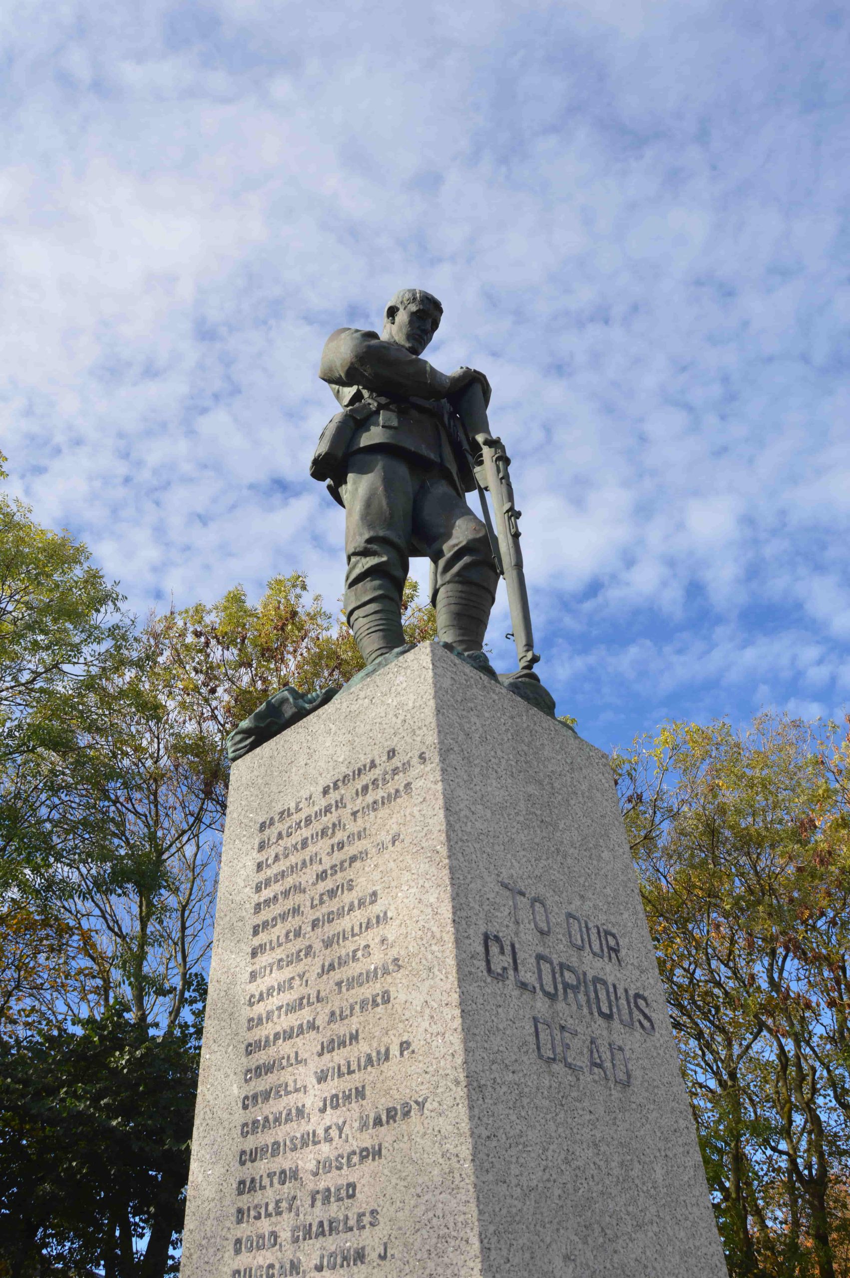
Way back in 1889, 22 acres of land at Burn Naze near the Wyre Estuary were acquired for building a salt works. Production began in the early 1890’s. The site, now called Hillhouse Enterprise Zone, is still an important industrial area to this day. At the time, the chemical works on the banks of the Wyre at Burn Naze in Thornton were owned by ICI. The chemical works drove the growth of the Thornton area. Hundreds of workers moved here, also spreading out to nearby Cleveleys.
The tramway was the thing which spurred on the growth of Cleveleys. Speeded along by a man called Tom Lumb. Mr Lumb was the one who employed Edwin Lutyens. He was the English architect who imaginatively adapted traditional architectural styles to the requirements of his era. He designed many English country houses, war memorials and public buildings.
Lutyens drew up plans for a Cleveleys Garden City. Those plans were never realised, although some of the arts and crafts style houses were built to his designs. They still stand today.
In 1904 the Fleetwood Estates Company acquired land from the Horrocks estate, and organised the ‘Cleveleys Cottage Exhibition of 1906’. This was in the area now known as Cleveleys Park, and marked another stage of growth in the history of Cleveleys.
The hamlet of Singleton Thorpe was reputedly to be found about a mile out into the sea off Rossall Beach at Cleveleys. The name Singleton being a derivation of ‘Shingleton’. In other words habitation in a shingly place.
In 1555 the sea surged inland and destroyed several villages, one of which was Singleton Thorpe. Legend has it that most of the inhabitants escaped and moved inland to settle at Singleton Village.
There’s still the evidence on the beach at Cleveleys of petrified forests when the tide goes out. Low spring tides sometimes expose preserved tree trunks, once buried under the tide many years ago. Pieces of petrified forest have been radiocarbon dated to 7000 BC.
The Abana was sailing from Liverpool to Florida, when she was caught in a storm in the Irish Sea on 22nd December 1894. She ended up drifting north to be wrecked off Little Bispham at 5pm. It can be viewed as Cleveleys first ‘famous’ shipwreck. At low tide on the beach just off the new sea defences at Princes Way, you can see the wooden remains of the Abana. The crew of the Abana and the lifeboat, including the ships dog, were taken to the Red Lion Inn at Bispham to recover from their ordeal. The ship’s bell and dog were given to the landlord of the Cleveleys Hotel, who’d raised the alarm. The ship’s bell now hangs in St. Andrew’s Church in Cleveleys.
On the night of 31st January 2008 a storm blew it off the course of its Ireland to Heysham sailing. It ended up on the beach at Anchorsholme, close to where the Abana had wrecked, many years before. Removing the ship from the beach took some time as the ferry was first cut up and taken away by truck. The ferry had also managed to land right on top of an outfall pipe and crush it. Once the ship was dismantled, the pipe under the beach needed repairing.
Cleveleys Hydro was a big, prominent hotel. You’d have found it around where the ‘pointy roofed’ houses are today against the seafront at Anchorsholme. In the late 1800s, the landmark Cleveleys Hydro is built on the site of the former Eryngo Lodge. Fully licensed, it was heated throughout, with hydropathic baths, an 18 hole golf course, tennis courts and a resident orchestra. It held banquets, dance and whist drives.
The Cleveleys Mythic Coast Trail
This trail experience begins with an adapted version of The Sea Swallow storybook, created by author Gareth Thompson and illustrator Hannah Magee.
As you walk along the prom in Cleveleys, discover five original Augmented Reality digital art experiences linked to the beautiful sculptures created by Stephen Broadbent Studios.
To download the app, simply go to the app store on your device and search for “Wyre AR Trails”.
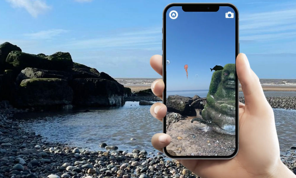
Mythic Coast Artwork Trail
Wyre’s Mythic Coast Artwork Trail brings a magical element to the Cleveleys seafront. Take a stroll and see which pieces of artwork you can spot.
Five striking structures have brought to life The Sea Swallow book – a specially commissioned children’s story imaginatively written by Gareth Thompson and beautifully illustrated by Hannah Magee.
Wyre’s history and folklore has been brought to life in this illustrated book that will delight children and adults alike. It’s a magical tale based on Singleton Thorpe, a village drowned off Cleveleys in the 16th Century, mixed with real life stories from the people of Wyre. Join daring heroine Mary as she attempts to save her village from a Sea Ogre and see all she encounters along the way – from a merboy and a golden shell to the Lune Deep and Great Lost Lake.
Each piece of artwork has been designed by North West artist Stephen Broadbent. They were funded through the Sea Change Regeneration Programme. The Sea Swallow book is available to buy from Wyre’s visitor information centres.
Shipwrecks Sculpture
This is an impressive 4.5 metre structure fashioned out of 10mm thick cor-ten weathered steel supported by a timber frame. The names of the shipwrecks along the Fylde coast from 1643-2008 are cut through the metal to create a lighter feel and interesting shadows. A large disc has been removed out of the sheet metal to frame the vistas of the coastline up to Fleetwood, down to Blackpool and out to sea and over to the Lake District. The use of self-weathering steel and timber in the design is intended to reinforce the feel of a wrecked ship.
Sea Swallows
A 10 metre beacon featuring the Sea Swallows from the book. Made from coated aluminium this piece creates a landmark at the top of Victoria Road in Cleveleys on the promenade.
The Seashell
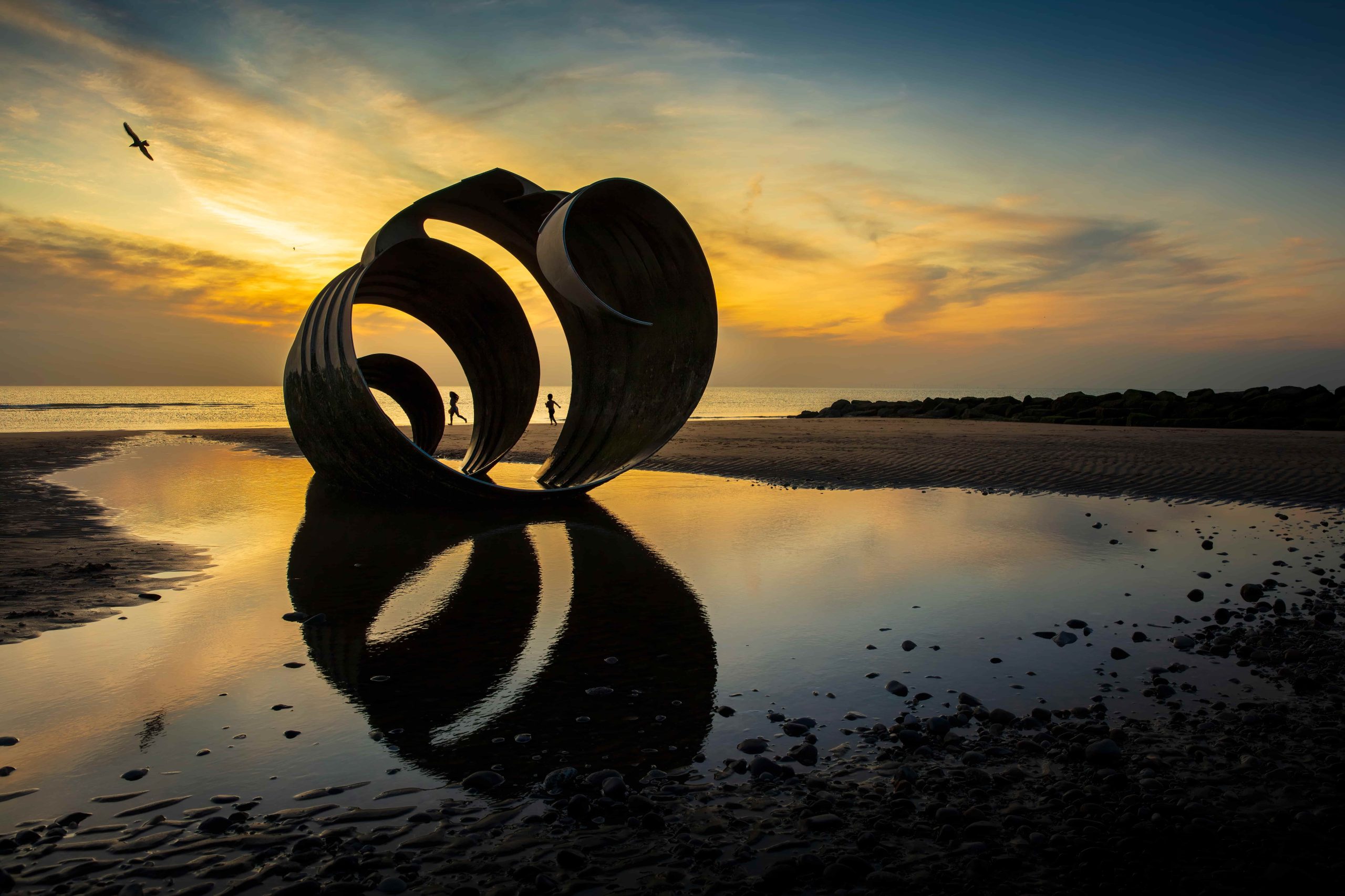
Go down to the beach and stand inside the Seashell when the tide is out. It is four metres high, made from stainless steel and weighs 16.5 tonnes. The Seashell was fabricated by Chris Brammall Limited of Cumbria.
The Paddle
Back on the promenade look for a paddle washed ashore. The timber paddle is nine metres long and 1.7 metres wide. It was carved from purpleheart timber by John Merrill and weighs in at 1.5 tonnes. The paddle bears the inscription “the Sea Ogre’s paddle drifted up, to lie on the muddy sand like some strange offering…” taken from The Sea Swallow.
The Sea Ogre
A four metre stone Sea Ogre as featured in The Sea Swallow book is hidden somewhere along the beach at Cleveleys. The Sea Ogre was carved from limestone by Adrian Wright and weighs in at 12 tonnes.
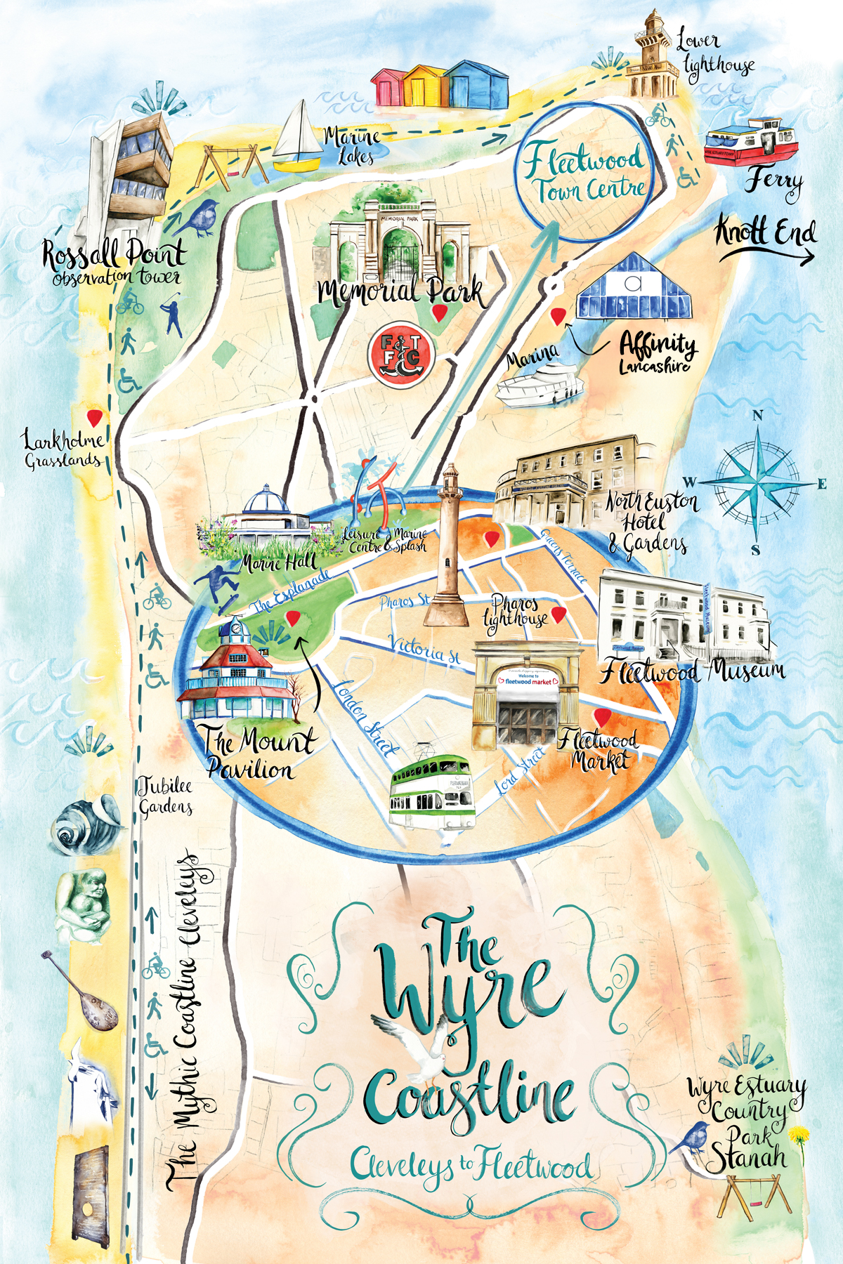
The Wyre Coastline:
Cleveleys to Fleetwood
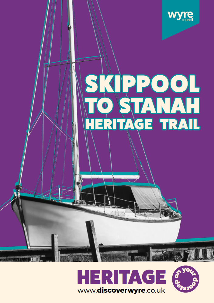
Extend your visit - the Skippool to Stanah Heritage Trail
If you’d like to make a day of it, why not extend your visit with the Skippool to Stanah Heritage Trail? This fascinating riverside walk can be started from either Skippool Creek or Wyre Estuary Country Park at Stanah, and follows the banks of the River Wyre through some of the most historically rich landscape in the borough.
Along the way you’ll pass smugglers’ haunts, a Victorian mansion, ancient trading docks used since Roman times, and the sweeping saltmarshes of the Wyre Estuary , a Site of Special Scientific Interest and the largest area of ungrazed saltmarsh in Lancashire. Whether you’re a history enthusiast, a birdwatcher, or simply looking for a rewarding walk with spectacular views across to the Bowland Fells, this trail has something for everyone.
Explore items relating to Thornton from the collection
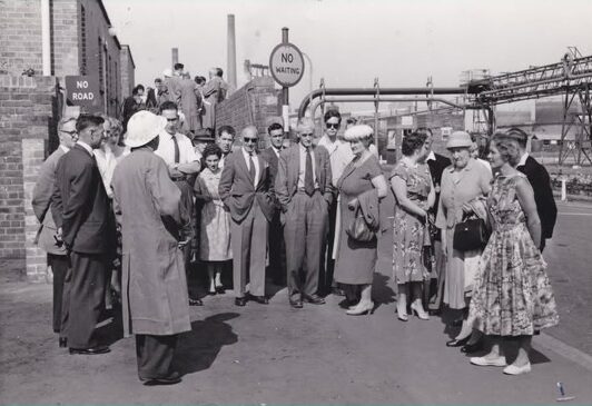
The History of Hillhouse International Business Park
The History of Hillhouse International Business Park

Marsh Mill Windmill Commemorative items
Marsh Mill Windmill Commemorative items
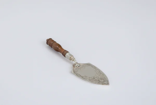
Marsh Mill in Wyre Ceremonial Trowel
Marsh Mill in Wyre Ceremonial Trowel
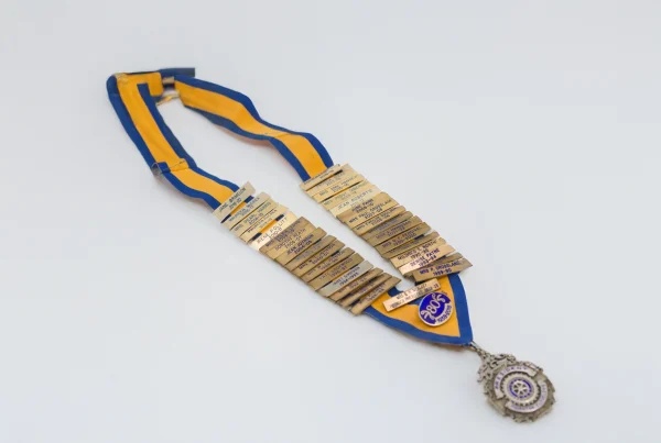
The Regalia and Jewels of the Inner Wheel Club of Thornton Cleveleys – 1938-2021
The Regalia and Jewels of the Inner Wheel Club of Thornton Cleveleys – 1938-2021
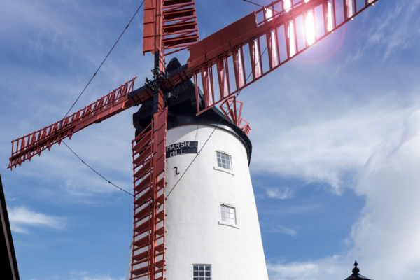
Marsh Mill
Marsh Mill
Wyre Council
Civic Centre, Breck Road, Poulton-le-Fylde, Lancashire, FY6 7PU
Email:
heritage@wyre.gov.uk