
Garstang is an attractive, popular market town situated on the banks of the River Wyre and close to the Forest of Bowland, an Area of Outstanding Natural Beauty from where the river springs.
Garstang was recorded in the Domesday Book as Cherestanc and received a Royal Charter to hold an annual fair in 1288 and a market from 1314. The weekly street market continues to this day every Thursday. In 2001 Garstang became the world’s first Fairtrade Town.
The town has a population of 5,000 and is a true mixture of the old and the new with historic buildings and medieval wynds (passage ways) alongside contemporary shops and services.
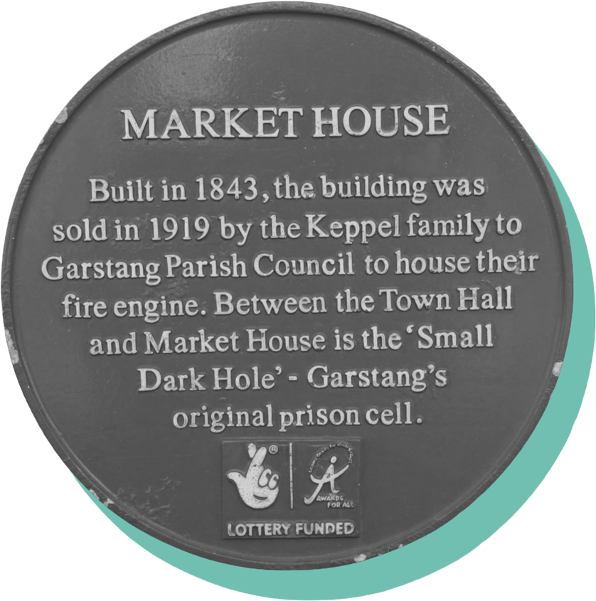
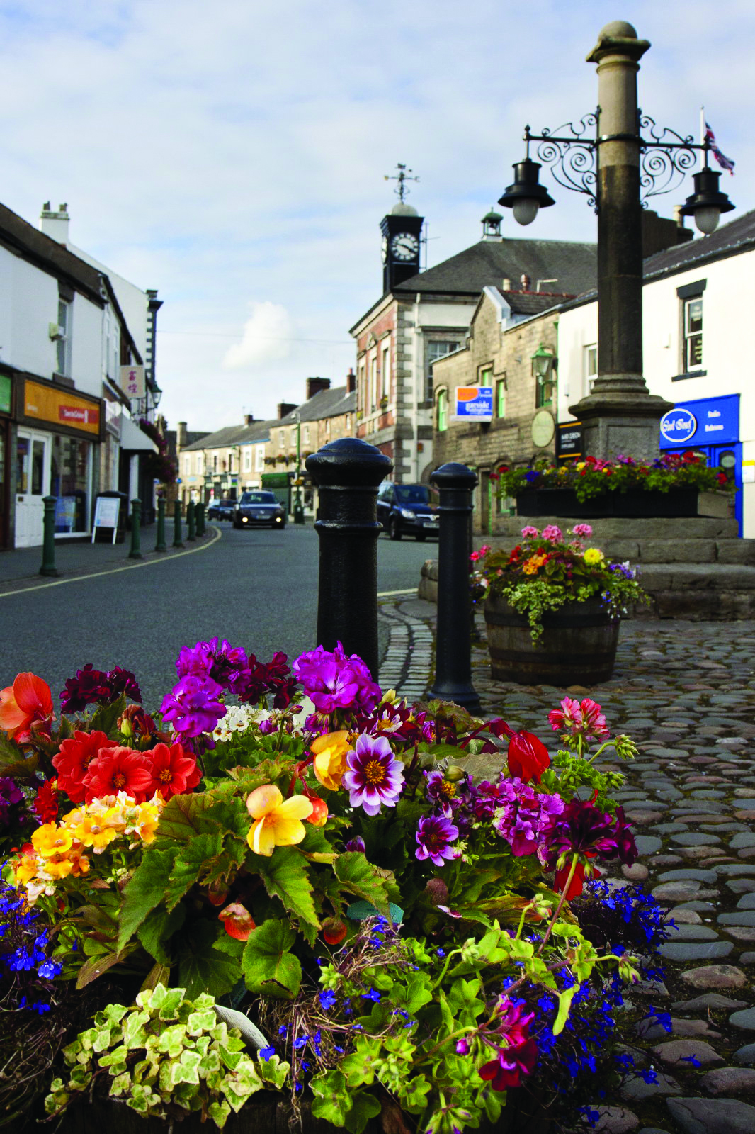
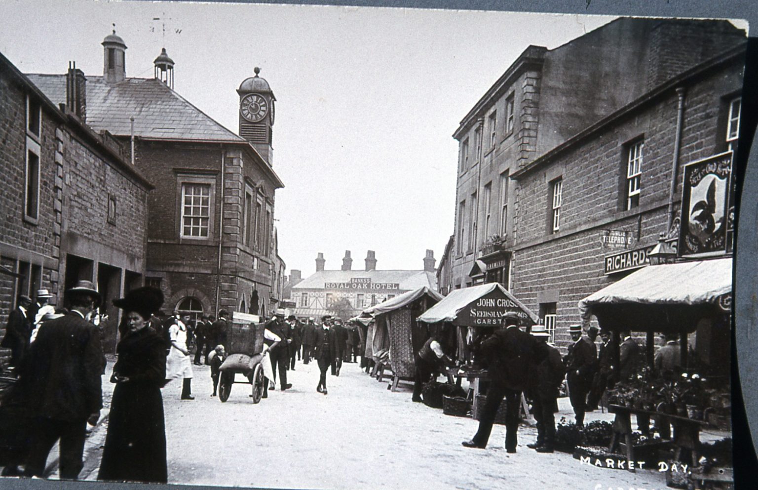
Until 1926, when the first by-pass was built, the main A6 road from north to south went through the town and over the River Wyre at the Stone Bridge. It formed the Drove Road for the Highland Cattle being walked from Scotland to markets in London and the Midlands. Robert the Bruce, Bonnie Prince Charlie and Oliver Cromwell all brought their armies through the town, and when travel was mainly by horse drawn coach, up to twenty-four a day stopped here to change horses.
All these animals and people needing rest, food and drink accounts for the large number of inns, which existed here – at least thirteen, many of which survive today. Garstang was also a focal point for the local area and was well known for its own horse fairs, livestock and grain markets. Historic landmarks include Greenhalgh Castle the remains of which overlook the town from a small hillock to the east. During the Civil War it withstood a twelve month siege before surrendering and being dismantled by Cromwell’s men.
In the High Street the Town Hall was built in 1680 but burnt down in 1750 and again in 1939, fortunately much of the Georgian exterior remains. Another landmark is the old grammar school built in 1756, now the Arts Centre. In addition to the River Wyre, the Kendal – Preston Canal runs through part of the town.
Originally constructed in 1791 for the passage of freight it is now a leisure amenity for pleasure craft, long walks and even fishing.
Garstang’s earliest mention is in the Domesday Book of 1086 as Cherestanc. The original spelling of Garstang has several interpretations: “gore by the boundary pole”, “spear post”, “triangular piece of land”, “common land” or “meadowland”. Possibly signifying the site of a meeting-space. The Old Norse derivation being ‘geiri’, a gore, from ‘geirr’, with ‘stang’ or ‘stǫng’, meaning “pole” or “boundary marker” or the Saxon derivation ‘Gaerstung’. It is probable that the historic market cross, which is a familiar landmark at the top of the High Street, is the same site.
Garstang’s traditional market day is a Thursday and dates back to the early-1300s stretching the length of the street.
The town celebrates an arts festival and agricultural show (which has been continued for 200 years) every year in August.
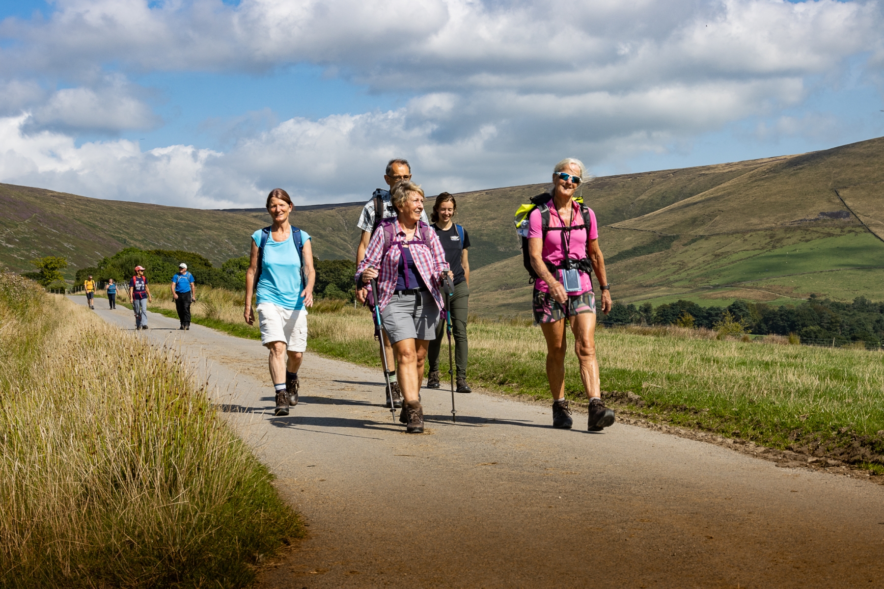
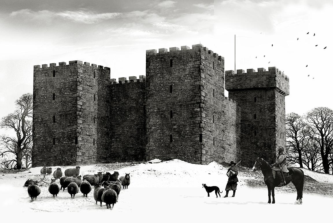
Notable landmarks in the immediate area include the stone-built aqueduct over the River Wyre and the nearby ruins of Greenhalgh Castle. The castle was built in 1490 to provide defence of the 1st Lord of Derby’s estate. During the English Civil War it was garrisoned in support of Charles I. It was one of the last two Royalist strongholds in Lancashire to succumb following a bitter siege during 1644/45 by Oliver Cromwell’s forces. The armies of Oliver Cromwell destroyed the castle in 1645.
The town is also noted for having several historic public houses in close proximity to one another.
Lying on the River Wyre, River Calder and the Lancaster Canal which runs directly through the heart of the historic market town of Garstang, offering a 40-mile, lock-free stretch. Known as the “Black and White” canal, it was originally used to transport coal (black) and limestone (white). The route connects Preston to Kendal, famous for being a lock-free 40-mile stretch from Preston to Tewitfield, traversing scenic areas of Lancashire and Cumbria. The canal was primarily designed to connect the coalfields of Wigan with the agricultural areas of northern Lancashire and to bring limestone down from Kendal.
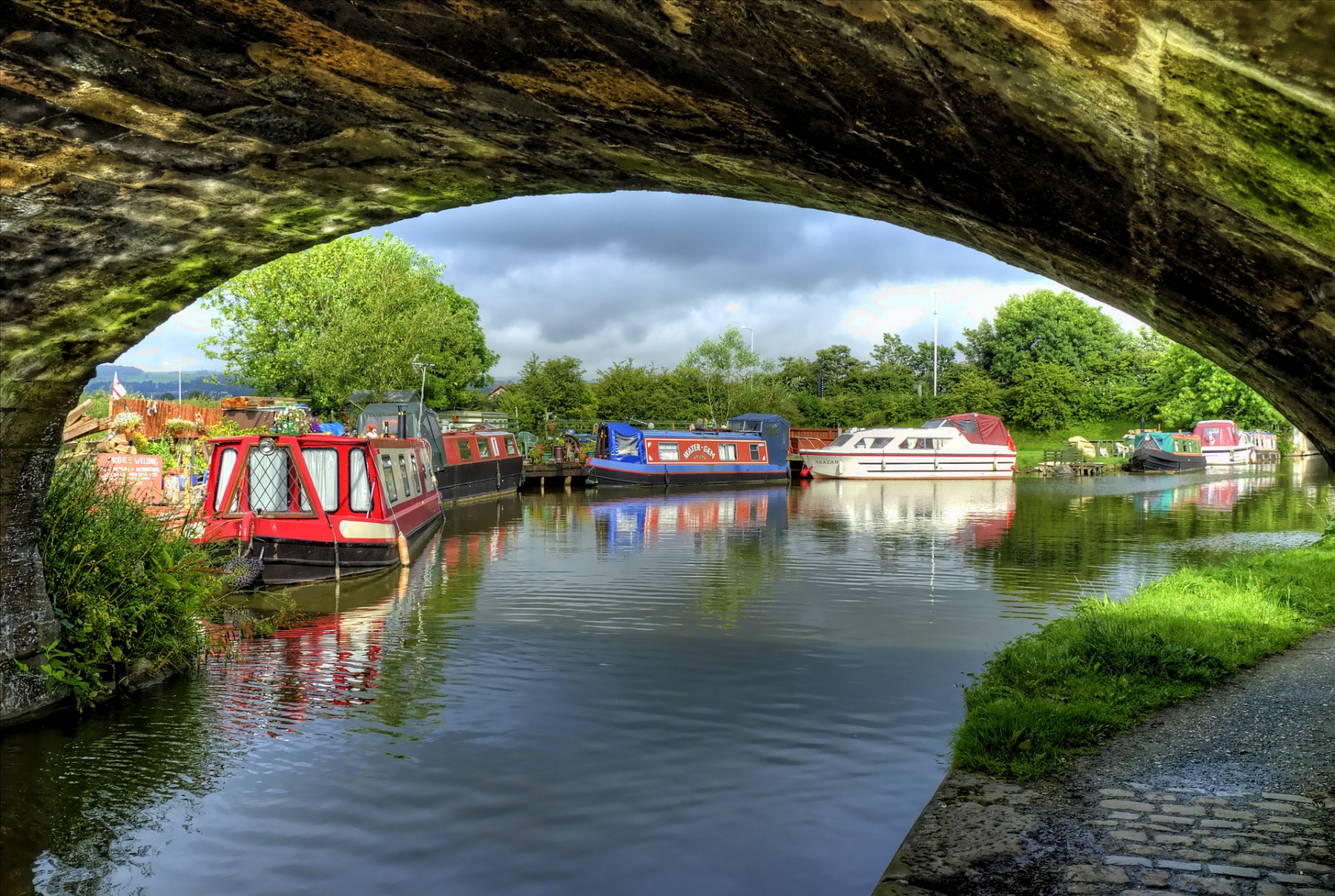
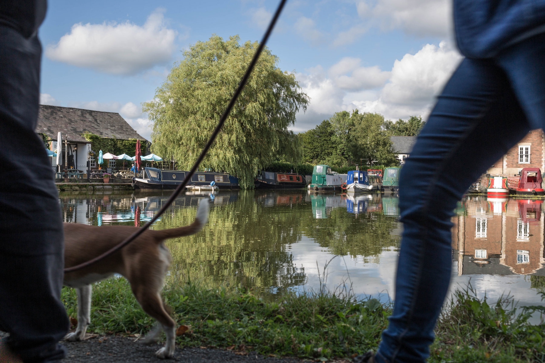
The Lancaster Canal was built between 1792 and 1826 to transport coal, limestone, and agricultural goods, designed by renowned Scottish civil engineer John Rennie
The canal was built in two main sections (north and south of the Ribble), which were never directly joined by water, using a temporary tramway to connect them initially.
Garstang Heritage Trail
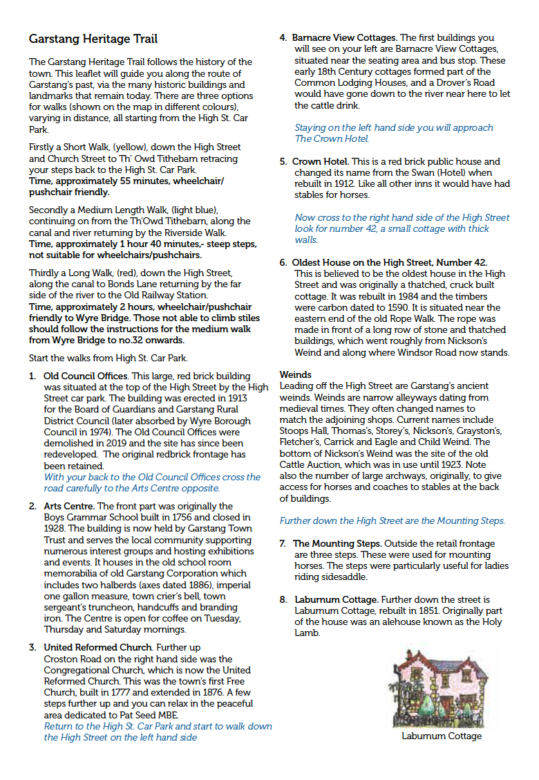
Explore items relating to Garstang from the collection
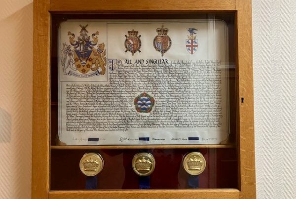
Grant of Arms to the Borough of Wyre 1975
Grant of Arms to the Borough of Wyre 1975
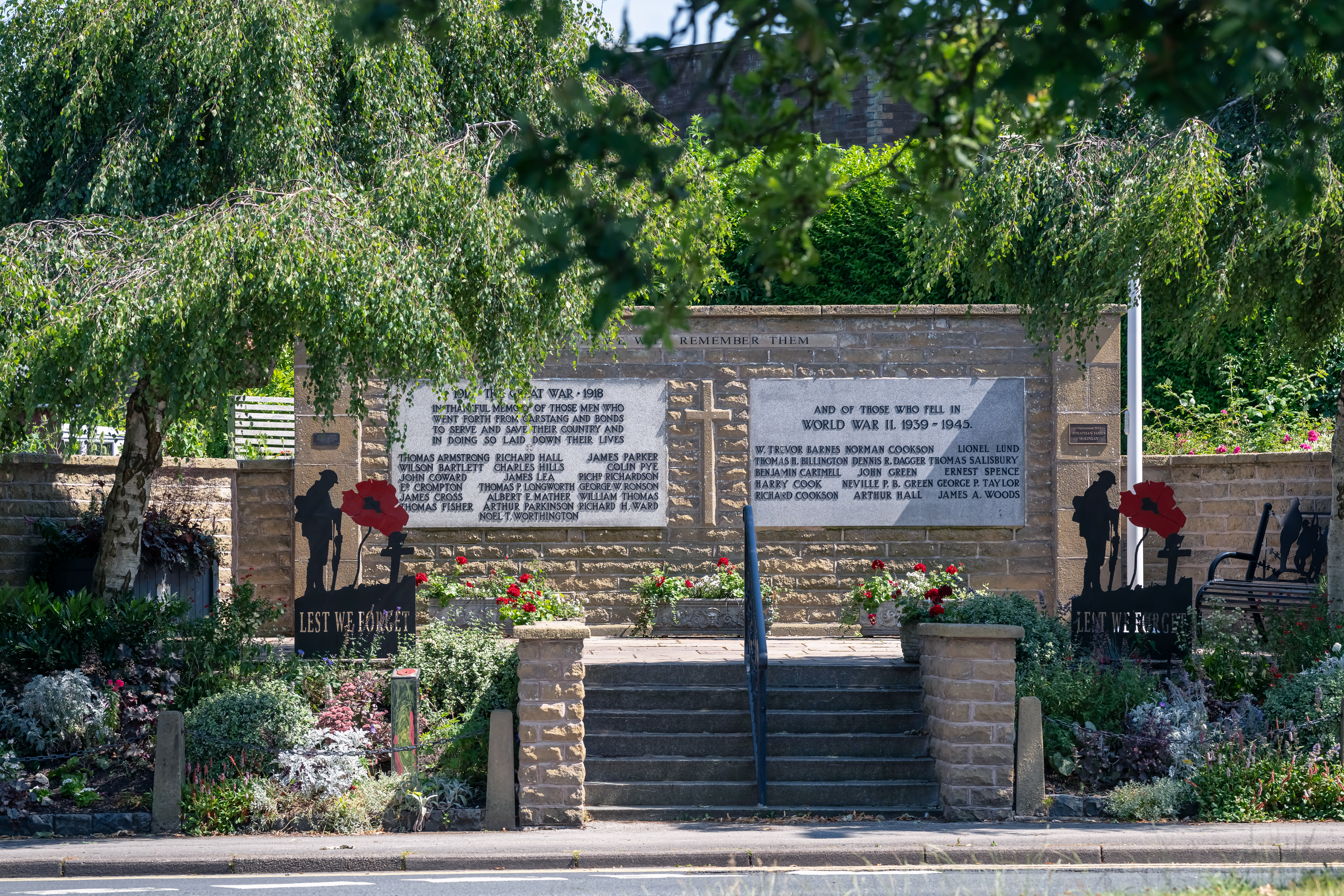
Garstang War Memorial and Poppy Trail
Garstang War Memorial and Poppy Trail
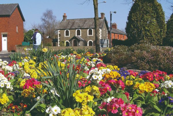
Garstang Arts Centre
Garstang Arts Centre
Wyre Council
Civic Centre, Breck Road, Poulton-le-Fylde, Lancashire, FY6 7PU
Email:
heritage@wyre.gov.uk