
Wyre is a borough shaped by water. The River Wyre rises high in the Forest of Bowland and flows some 28 miles south-west, past ancient market towns and fertile farmland, before meeting the Irish Sea at Fleetwood. Along the way, it has nourished communities, powered mills, carried trade, and given this corner of Lancashire its name and its character.

From the Roman roads that passed through Garstang to the Victorian planned streets of Fleetwood, from the salt mines of Preesall to the windmill at Thornton, Wyre’s heritage is extraordinarily varied. It is a place where ancient market crosses stand within sight of art deco theatres; where fishermen’s cottages give way to Georgian gentry houses; where the rhythms of the sea have always set the pace of daily life.
The borough as it exists today was formed in 1974, bringing together the coastal towns and rural hinterland of the Fylde into a single administrative area. But the communities it encompasses have roots that stretch back far further, to the Domesday Book, to Norse settlement, to the Bronze Age. Wyre’s people have always been resourceful, resilient, and deeply attached to the places they call home.
From ancient market towns to Victorian seaside resorts, Wyre’s story is one of reinvention, communities shaped by the sea, the river, and the determined spirit of the people who lived beside them.
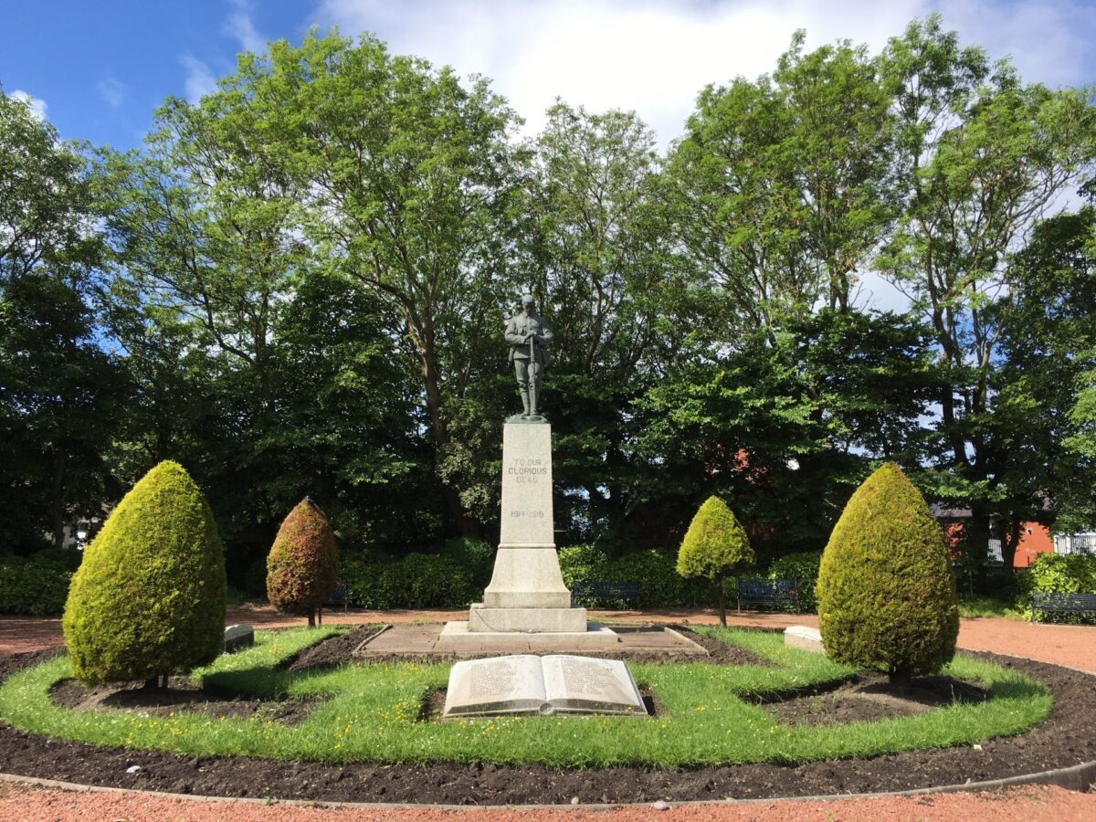
This website is an invitation to explore that story. Through the histories of five distinct places, the collections held in trust by Wyre Council, and the walking routes that connect them, we hope to bring Wyre’s heritage to life, for those who live here and for those discovering it for the first time.
BOROUGH FORMED
1974
RIVER WYRE LENGTH
28 Miles
HISTORIC PLACES
5 Areas
DOMESDAY ENTRIES
60+ Communities
Explore the places that make Wyre
Five communities, each with their own remarkable story to tell.
What shapes our heritage
The threads that run through every corner of the borough.
Wyre’s heritage is not a single story but many, woven together by geography, industry, and the passage of time. Certain themes recur across all five of its communities, connecting them in ways that are sometimes surprising.
The sea and the river have been the defining forces. Whether it was the trawlermen of Fleetwood braving the North Atlantic, the ferrymen of Knott End crossing the Wyre estuary, or the merchants of Poulton trading at the wharves of Skippool, Wyre’s relationship with water runs deep.
Industry, too, has left its mark. From Preesall’s salt mines, discovered by chance in 1872 and producing over 30,000 tons a year by 1918, to the Fisherman’s Friend lozenges still manufactured in Fleetwood and exported to over 100 countries, Wyre has always made things. The Grade II* listed Marsh Mill at Thornton, built in 1794 and standing 70 feet tall, is perhaps the most visible reminder of an earlier, agricultural industriousness.
And then there are the people, the civic pioneers, the sporting trailblazers, the educators and entertainers who shaped their communities and, in many cases, left their mark on the wider world. Their stories are told throughout this website, and we hope you’ll find them as inspiring as we do.
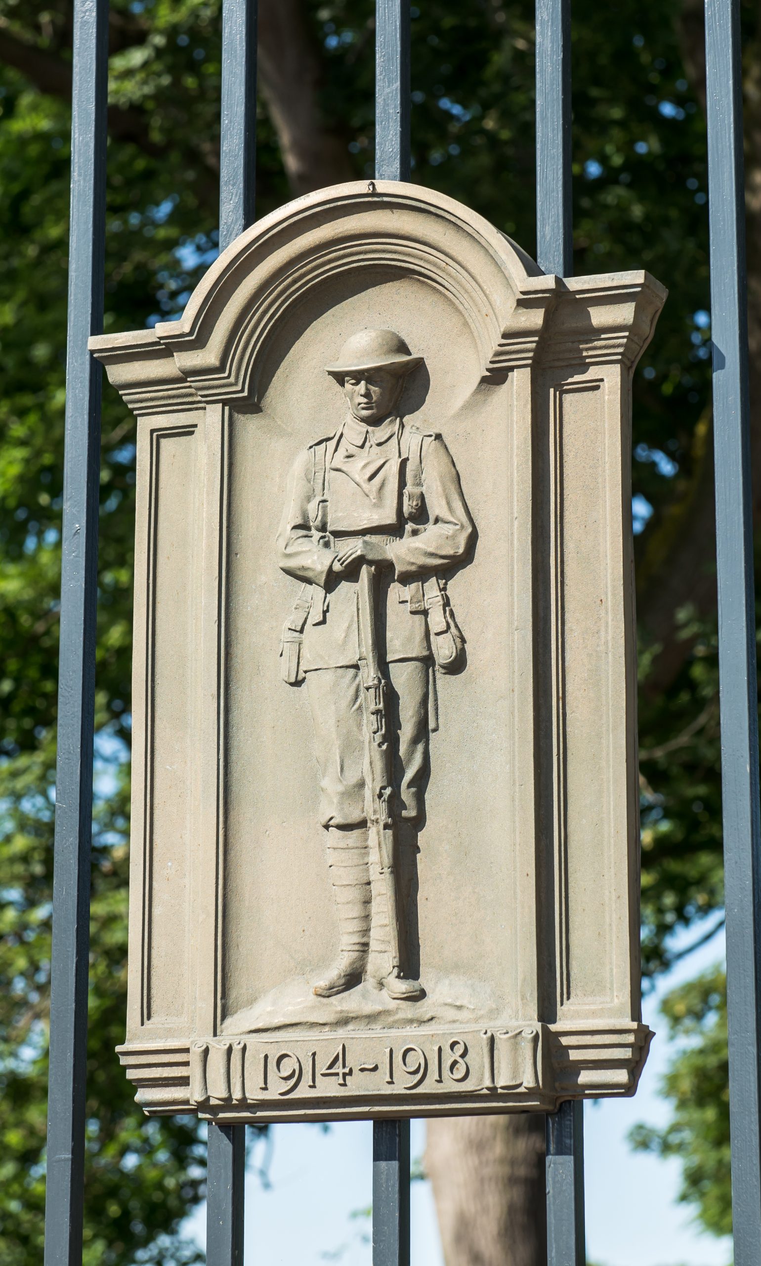
Photo credit: Nick Harrison
Wyre Council
Civic Centre, Breck Road, Poulton-le-Fylde, Lancashire, FY6 7PU
Email:
heritage@wyre.gov.uk